Vintage Brevard 11
- joeram3
- Nov 21, 2019
- 1 min read
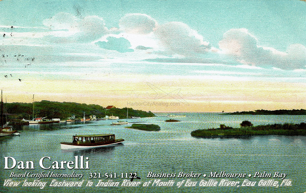
Howdy Brevard ! Moving North up U.S. 1, here's an interesting shot of our friends in Eau Gallie. This Leighton postcard is looking east from either a bridge or pier from the north shore of the Eau Gallie River in the Hyde Park area (where the houseboats are today), across the confluence of the Eau Gallie River and Elbow Creek (the tributary that runs north/south-ish along U.S. 1) to what is now Ballard Park, out to Hawthorne Point & the Indian River. This view is kind of easy to understand, but since the U.S. 1 bridge today is further to the west, it's hard to come up with an exact modern view, so here's a oblique aerial view (courtesy of the wonderful Google Earth) that helps to sort things out.
This view also shows that much of Ballard Park as we know it today is landfill to tie those three pieces of land in the center together and to the mainland. On the aerial, the star with the inexplicable number of points is approximate location of the view on the postcard.
Notice Hyde Park Lane ? ;)

Comments